
Informatics for Equitable Recovery in Nepal
A collaboration between the Earth Observatory of Singapore, Stanford Urban Resilience Initiative, ETH Zurich, and Kathmandu Living Labs — funded by the World Bank Trust Fund for Statistical Capacity Building.
Drawing on data collected in the aftermath of the 2015 Gorkha earthquake in Nepal, this project combines data from multiple sources, including remote sensing proxies, field surveys and social scientific data, to better inform post-disaster aid allocation and recovery planning. VIEW PROJECTBlack Swans, Black Elephants: Advancing Consequence-Driven Risk Analysis
We are developing a new framework that is specifically designed to identify events with the potential for disproportionate catastrophic consequences. The framework characterises the circumstances and probability of extreme events through the use of “counterfactual thought experiments”.
By identifying them and quantifying the network of paths and feedbacks through which a natural hazard event becomes a disaster, we can turn “black swan” events (unforeseen, catastrophic events) into more manageable “grey swan” events, which are very rare but manageable, specifically because they have been foreseen..
VIEW PROJECT

Novel methods for large-scale dynamic probabilistic risk modelling
Current probabilistic disaster risk assessment methods have been limited to static analyses (i.e. based on the current condition of hazard, vulnerability, and exposure) often leading to large underestimation of risk.
This work focuses on developing an urban/regional risk analysis framework that is intrinsically time-dependent. The framework utilises multi-level agent-based modeling to simulate complex and dynamic urban environments at multiple spatial and temporal scales. VIEW PROJECTSensitivity Analysis for Flood Impact Modelling
Little has been done to understand the uncertainty in exposure modelling and its impacts on risk analyses. In this project, exposure data will be collected using various methods, ranging from globally available population data, to high resolution satellite imagery, to street-level 360° camera footage. These data will then be used to study how uncertainty in exposure modelling can impact the results of risk analyses.
VIEW PROJECT

Ecosystems Services for Flood Risk Reduction
In collaboration with the Natural Capital Project based in Stanford University, this project looks to quantify the flood regulating ecosystems services using the risk framework. The goal of this project is to allow better comparisons between nature-based solutions with standard engineering-based “grey infrastructures”.
This project is funded by the Singapore National Research Foundation (NRF) and an Environmental Ventures Project grant from Stanford University, VIEW PROJECTUnderstanding Risk Field Lab 2019
The Understanding Risk (UR) Field Lab is a one-month long, output-driven unconference led by the Co-Risk Labs. This event, which took place in Chiang Mai, brought together an international and multi-disciplinary pool of people to work on the problem of urban flooding. Throughout the field lab, participants collaborated, proposed and completed different projects driven by various themes.
WEBSITE

Evaluation of Natural Catastrophe Impact in Megacities
This research focuses on disaster loss assessment in megacities, especially through future projections. A cellular automata-based urban growth model us used for the prediction of expansion in built-up area of megacities to estimate the loss in macro-level.
Risk and Resilience DAT/Artathon
This three-week virtual workshop for data visualizers will be a collaborative and constructive experience to learn from each other, create disaster data art, and co-create criteria for visualizing risk data. Apply now to join us July 20-August 7, 2020!
LEARN MORE
Towards Ethical Research in Post-Disaster Settings
By creating a set of processes to inform and guide researcher behavior, this project tackles the unique ethical issues that emerge during fieldwork and data collection in complex, post-disaster settings.
VIEW PROJECT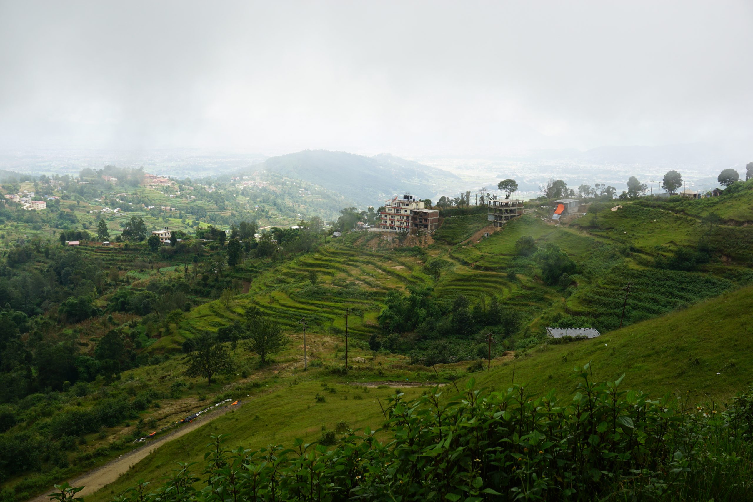

The impacts of coastal flooding and sea level rise on urban transportation
The urban transportation system is central to the functioning of modern cities. However, a rising sea level and intensifying coastal storms pose major risks to the transportation system. How can we measure flood-related transportation disruption?
LEARN MOREWelfare Losses from Sea Level Rise
Coastal extremes and sea level rise have the potential to cause significant impact on communities in Southeast Asia. To prepare communities for their future impacts, planners and decision makers rely on methods of quantifying risk to make risk-informed decisions. Currently, decision-makers rely on asset-based metrics to assess future risk, but the impacts of extremes and sea level rise far exceed physical damage. There is a need to account for the impacts on the well-being of communities. We explore methods to better quantify the region’s risk to extremes compounded by sea level rise, for more equitable risk-informed planning outcomes relating to climate and disaster resilience.
LEARN MORE

Extreme Value Theory for Early Warning Systems
Funded by the Nanyang Technological University – Imperial College London collaboration grant.
The occurrence of natural hazards like volcano eruptions and floods are extreme events. While classical statistical methods fit the bulk of data well, this is often at the expense of the tails. Extreme value theory provides the mathematical foundations to better characterise extremal behaviour. In this project, we develop extreme value forecast models inspired from financial risk forecasting..
VIEW PROJECTOrder and Spatial Dependence in Risk Analysis
Probabilistic loss assessments from natural hazards require the quantification of structural vulnerability. To this end, we can use building damage data to estimate fragility curves which relate the hazard intensity measure to the probability of exceeding certain damage grades. In this two-part project, we show that modelling the ordering of damage grades explicitly through an ordinal model and accounting for different sources of spatial correlation has theoretical benefits as well as practical implications on regional portfolio losses.
VIEW PROJECT

Epistemic Uncertainty in Risk Analysis
Every risk analysis involves the concatenation of different complex mathematical models: a hazard model, an exposure model, and an impact model. To make robust and meaningful inferences for decision-making, uncertainties in risk analysis products need to be accounted for. It is typical, in practice, to explicitly model the probabilistic nature of the hazard, but not in the rest of the components. We review, in this project, the different sources of uncertainty that might impact the risk analysis, explore how its consideration might impact the decision-making process, and propose guidelines to robustly and thoroughly consider them in a consistent and systematic way.
VIEW PROJECTModel Calibration with Spatial Data
In environmental sciences, we take measurements of the environment to understand it. We use the data to calibrate complex, non-linear models which account for the physics of the phenomena. This often involves loss functions which implicit assume various characteristics of residual error including independence and statistical distributions. Through multiple case studies, we analyse the implications of different choices of loss functions and develop methods to account for datasets of varying uncertainties as well as spatial dependence.
VIEW PROJECT

Extreme Vulnerability to Migrate due to Sea Level Rise
This study aims to investigate extreme vulnerability to sea-level rise (SLR) in Southeast Asia, by identifying the most exposed areas and the most vulnerable communities, and to project SLR-related human migration patterns in the region.
VIEW PROJECT